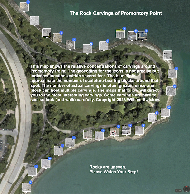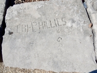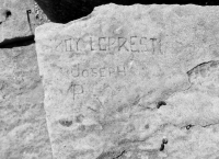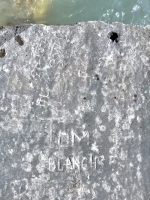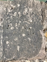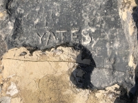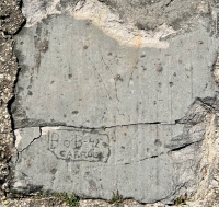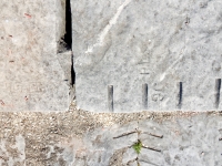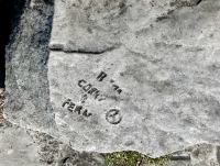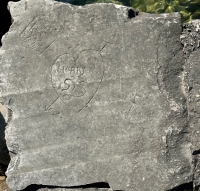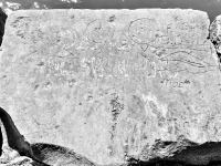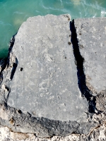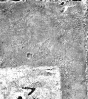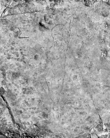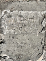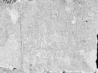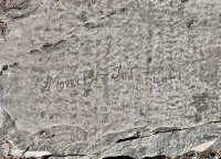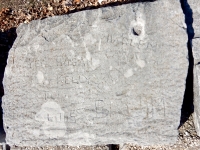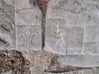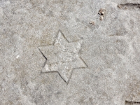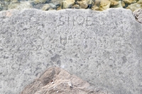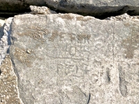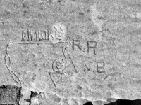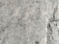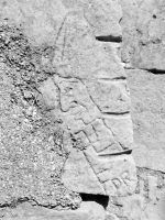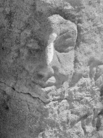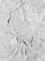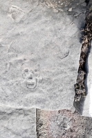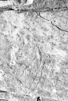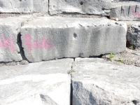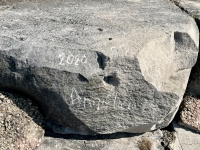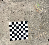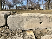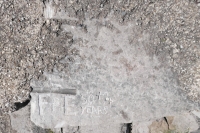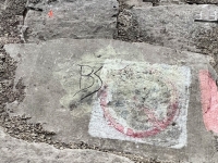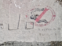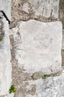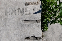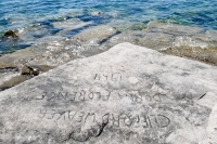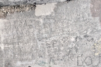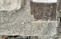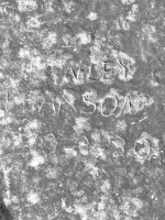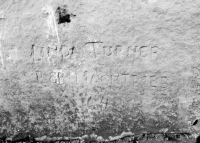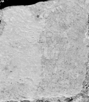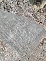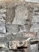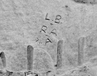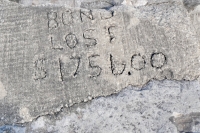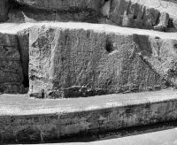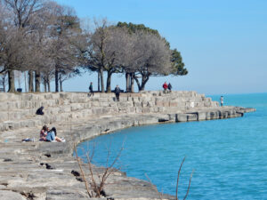
The limestone perimeter of Chicago’s historic Promontory Point is lined with more than 500 rock carvings, made starting in the 1930s immediately after its completion by the FDR-era Works Progress Administration. The carvings — historically significant, nearly all anonymous, and often artistically compelling — embellish the step-stone revetments that line the Point and protect it from the lake.
(Those revetments and the carvings they host are under threat from possible lakeshore protection measures. For more information on that issue, please visit the Promontory Point Conservancy.)
This PDF contains maps to help you find the most interesting carvings. If you do go on the hunt, please proceed with caution. There are many gaps, holes, even chasms in the old revetments; keep your eyes open. There also are many more carvings than the maps show, so be sure to keep eyes open for them as well.
The first map of six displays the relative concentrations of carvings all around Promontory Point. The geocoding for the photo icons is not precise, but they indicate locations within several feet. The blue digits approximate the number of sculpture-bearing blocks around that spot. The number of actual carvings is often greater, since one block can host multiple carvings.
The maps that follow feature the most interesting carvings as you walk around the Point, starting at the southwest corner. Each carving of note is represented by a brief description of its subject.
In most places there are five levels of step stones. The level number shown with each carving indicates the position of the carving, from level 1 (lakeshore) to level 5 (parkland).
Click the image below to download the finder maps for Promontory Point carvings. They are printable and also interactive. Clicking on a carving in the pdf will link to a photo.
You also can view a gallery of the highlighted carvings below, or read here about the carvings all up and down Chicago’s lakefront.
Find lakefront carvings by location.

